Software Name:
Geodaten International Streets 3.01
Version: 3.01
Category: Business
Date Listed/Updated: 2010-01-25 08:33:10
File size: 291
OS: Win 3.1x,Win95,Win98,WinME,WinNT 3.x,WinNT 4.x,WinXP,Windows2000,Windows2003,Windows Tablet PC Editi
License: Other Price($): 705.00
Author/Publisher name: Fred Killet
View Full Screenshot
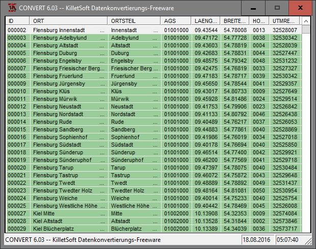
Description: For many countries street coordinates are present with coverage degrees upto 100 percent. The geo data offered here are in high-precision quality and are present in several coordinate and reference systems. Street coordinates or also called street section coordinates are meaning the summary of several postal house addresses to an averaged position on street or street section basis. The street coordinates are to be used with applications, which are developed to assign street oriented address groups exact positions. The possible field of application is very various. So e.g. own address lists can be enriched with geo references and visualized on suitable map material. The application scope reaches from information systems over navigation services, geo marketing, telecommunications and UTMS based services up to Web applications and tasks of the power authorities and security services. Another point of interest can be the establishing relationships between data derived from different hierarchies and levels. For example, it could be desirable to know to which administrative or postal unit a street belongs to. The coordinates of the streets are present as geographic coordinates and UTM coordinates. Geographical coordinates in degree notation are particularly suitable well for searches with Google Earth. Here is as an example an Internet URL with coordinates from the Geo Data International Streets , which can represent the location of Killet Software Ing.-GbR: http://maps.google.com/maps?t=k&ll=51.397363,6.450883&spn=0.002,0.002 . The first value behind the identifier ll (lat / lon) is the geographical latitude, then the geographical longitude follows. The shown URL can be inserted directly into the address field of the browser to represent a map cutout on the screen. Street-exact geo data are on the one hand less expensive than the high resolution house-exact geo data, on the other hand they are more exact than the economically priced administrative geo data.

EULA

Tags: geo data street streets road roads parts coordinate coordinates coding navigation periphery proximit
Is this software spam? Report Spam
Software removal request by publisher Removal Request
Software Review: Geodaten International Streets 3.01 Review
For publisher: Request Software Confirmation
Software from the publisher:GeoDLL, Geodata Germany, TRANSDAT (Deutsch), Graphics4VO Demo, Graphics4VO Graphics DLL 5.14, Geodata Germany, Geodata International, Geodaten International Streets 3.01, Geodata International, Geodaten International Houses 3.00, Geodata Germany, Geodaten German Streets 3.02, CONVERT, CONVERT (Deutsch) 3.03, Geodaten German Houses 3.02, Geodaten German Admin 13.04, Geodata International, GEODLL32 (English) 11.11, Graphics4VO Beispiel Programm 5.14, Graphics4VO Graphik-DLL 5.14, Geodata Germany, TOPOWIN, SEVENPAR (Deutsch), SEVENPAR (English) 1.10, ORTWIN, Geodaten International Admin 3.02, DRAGSENS, NTv2Tools, NTv2Poly, TRANSDATpro, GeoDLL, SEVENPAR, TOPOWIN, Geodata Germany, Geodata International, NTv2Creator,