Software Name:
GeoDLL
Version: 17.11
Category: Miscellaneous
Date Listed/Updated: 2022-11- 19:19:35
File size: 4456 KB
OS: Win95,Win98,WinME,WinNT 3.x,WinNT 4.x,WinXP,Windows2000,Windows2003,Windows Tablet PC Edition 2005,W
License: Other Price($): 610
Author/Publisher name: Fred Killet
View Full Screenshot
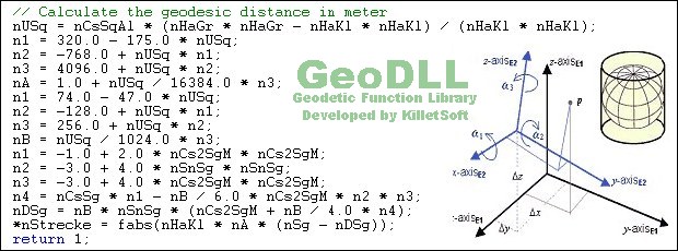
Description: GeoDLL supports the development of geodetic software on various platforms by providing geodetic functions. GeoDLL contains precise calculations on the themes 2D and 3D coordinate transformation, geodetic datum shift and reference system converting, meridian strip changing, user defined coordinate and reference systems, distance calculations, Digital Elevation Model, NTv2 handling and BeTA2007 support, Direct Inverse solutions, map function and geodetic converting functions. The most important application of GeoDLL is to include professional coordinate transformations in own programs. These coordinate and reference systems are supported: 1. The current and many historical coordinate and reference systems of all countries of the European Union (EU) including the eastern extensions and the systems of the European non-EU countries. 2. The European ETRS89 systems forced by INSPIRE with respect to the continental drift. 3 .The US and Canadian State Plane Coordinate Systems (SPCS) and other systems of the North American continent. 4. Many coordinate and reference systems of the countries of all continents and the world-wide used coordinate and reference systems. 5. World-wide NTv2 grid file supported coordinate transformations. 6. The coordinate and reference systems of the old and new German Federal States, the 40 Prussian Soldner Land Registers, the German Lagestatus , special reference systems of the German Federal States and BeTA2007. 7. User defined coordinate systems, reference systems and earth ellipsoids. GeoDLL comes with extensive documentation and is supplied as DLL file or as C++ source code for 32bit and 64bit architectures. The DLL works with most programming languages and it can be used with Microsoft Office programs. The DLL is written in C++ and was developed with Microsoft Visual Studio 2010. Thus very fast performance, compact code and high stability are assured. The functions of GeoDLL are prepared for multithreading.

EULA

Tags: dll development geo formula coordinate coordinates transformation conversion inspire ntv2 beta2007 d
Is this software spam? Report Spam
Software removal request by publisher Removal Request
Software Review: GeoDLL Review
For publisher: Request Software Confirmation
Press release from the publisher:In-house development with the Geodetic Development Kit GeoDLL KilletSoft provides new features of the development tool GeoDLL for highly accurate coordinate transformations and for manipulating NTv2 files. With the trademark GeoDLL KilletSoft distributes a economically priced Geodetic Development Kit. GeoDLL is an easy to use function library which is designed particular for GIS professionals and software developers. GeoDLL allows developers to embed high-precise coordinate transformations into their custom geospatial software. Additionally GeoDLL contains many advanced geomatic tools for GIS development, such as generating Helmert-Seven-Parameter-Sets, INSPIRE- and EPSG support, Digital Elevation Models (DEM), Distance calculation and Time Zone Determination, and the ability to generate custom best fit transformation parameters. The latest enhancement provides tools for NTv2 file manipulation and supplementing NTv2 files with Polygonal Validity Scopes. The WINDOWS operating system provides software developers the possibility to use geodetic functions from the Dynamic Link Library GeoDLL with their own programs. The programming language does not play a significant role when using a DLL. However, the use of the programs developed with GeoDLL is restricted to computers with the operating system WINDOWS. Here, 32 bit and 64 bit operating systems are supported. To integrate under other operating systems and hardware platforms we offer the GeoDLL completely as source code written in C programming language. The source code is written to a large extent in ANSI-C, so that migration to any operating system and hardware platform is possible with minimal effort. Detailed information and the complete online user manual with all function descriptions of the GeoDLL can be found on our website killetsoft.de. Killet Software Ing.-GbR Escheln 28a 47906 Kempen Germany www.killetsoft.de
Visit the Press Release for more details
Software from the publisher:GeoDLL, Geodata Germany, TRANSDAT (Deutsch), Graphics4VO Demo, Graphics4VO Graphics DLL 5.14, Geodata Germany, Geodata International, Geodaten International Streets 3.01, Geodata International, Geodaten International Houses 3.00, Geodata Germany, Geodaten German Streets 3.02, CONVERT, CONVERT (Deutsch) 3.03, Geodaten German Houses 3.02, Geodaten German Admin 13.04, Geodata International, GEODLL32 (English) 11.11, Graphics4VO Beispiel Programm 5.14, Graphics4VO Graphik-DLL 5.14, Geodata Germany, TOPOWIN, SEVENPAR (Deutsch), SEVENPAR (English) 1.10, ORTWIN, Geodaten International Admin 3.02, DRAGSENS, NTv2Tools, NTv2Poly, TRANSDATpro, GeoDLL, SEVENPAR, TOPOWIN, Geodata Germany, Geodata International, NTv2Creator,